A brilliant Pakistan population density map


A new Pakistan population density map is out. In this, areas with a high concentration of individuals give a look of pine trees or skyscrapers. The map has been produced by Terence Fosstodon with Rayshader, an open-source package for producing 2D and 3D data visualizations.
“A good number of requests for a population density map of Pakistan so here’s one!” said the maker in a tweet on Friday. The latest feature is a follow-up to his several designs that have amused and amazed people because of their novel look.
The map suggests that most of Pakistan’s population lives in the east of the country. The rest of the regions appear white on the map indicating thin population density there. You may be forgiven for mistaking it for a picture that shows the western part of the country covered by snow, but of course, that is not the case.
The map shows what we have read in school books that Punjab is the most populous province. The section of the map under the label ‘Karachi’ gives the look of a skyscraper.
What are the statistics?
The data from the findings of the World Bank shows the following results for Pakistan.
- Population: 231.4 million (January 01, 2021)
- Population density: 294.7 (January 01, 2020)
- GDP per capita, purchasing power parity (current international $): 5.7k (January 01, 2021)
- Land area: 770.9k (January 01, 2021)
How Rayshader works?
It uses elevation data, where the topography of the land is represented digitally, in a design where elements are arranged in a two-dimensional rectangular layout. It further uses different techniques and algorithms to generate 2D and 3D maps.
Below are the pictures of his other designs:
Canada

Laos

Switzerland
Finland

Serbia

Mexico

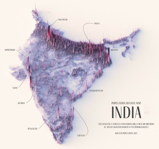
India
Bangladesh

For the latest news, follow us on Twitter @Aaj_Urdu. We are also on Facebook, Instagram and YouTube.
population density
pakistan map

‘Aayi Aayi’: Coke Studio releases first song of Season 15

Shan’s daughter gears up to shine in the film industry

Henry Cavill and girlfriend Natalie Viscuso expecting their first child together

Pakistani cricketers enjoy indoor match after rain spoils training

‘Rust’ armorer to be sentenced over deadly on-set shooting


Comments are closed on this story.